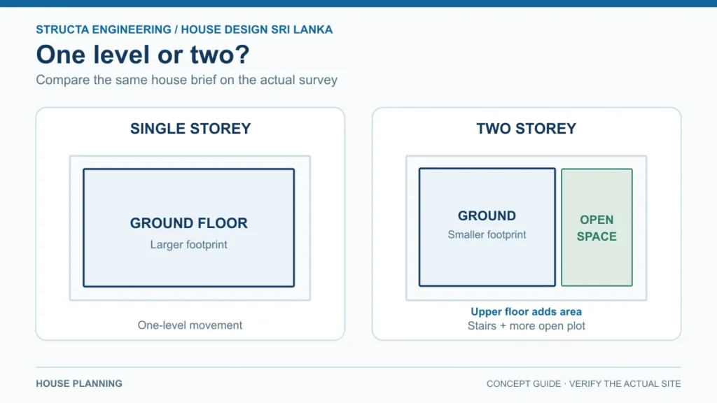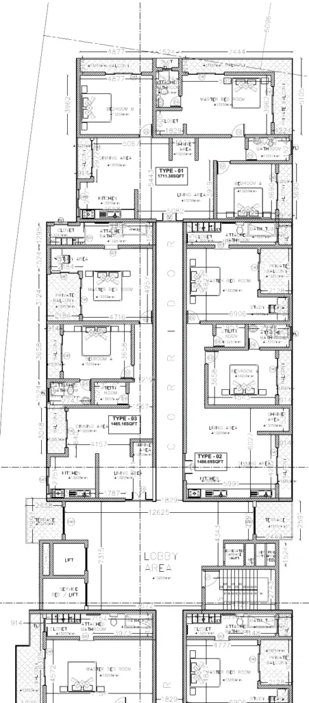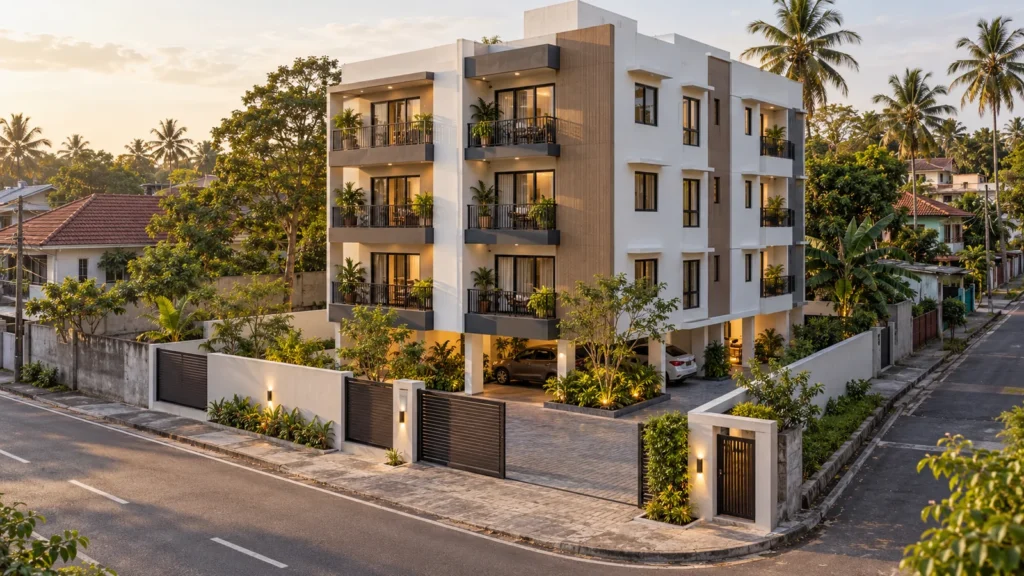
Flood-aware house design starts with evidence about a particular site: its levels, drainage route, watercourse, road access and known flood history. A regional flood map can identify a concern, but it cannot set the finished floor level for one parcel. Once the relevant authorities and engineers establish the site conditions, the architectural plan can locate habitable rooms, access, electrical equipment and services with that risk in mind.
The right response may be a higher floor, a different building position, a changed ground-floor use or, in some cases, a decision that the site is unsuitable for the proposed home. The answer depends on lawful development conditions and a site-specific design.
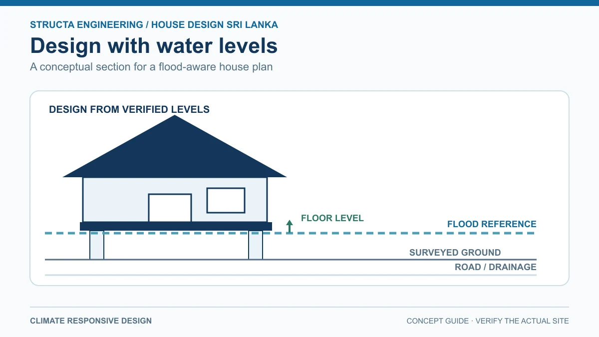
First, identify the type of water problem
River flooding, canal overflow, intense-rainfall ponding and water backing up through a local drainage system can look similar after a storm but require different design questions. The first site visit should identify the nearest drains and watercourses, the slope of the road and neighbouring land, visible flood marks, blocked outlets and places where water could be trapped. A levels survey is essential when small height differences determine whether water reaches the floor.
The Disaster Management Centre's flood profile covers selected river basins, and the Irrigation Department provides historical flood maps. Use them to start the enquiry. One official Attanagalu Oya map states that its resolution is too low for local parcel-level planning and that a greater flood could exceed mapped extents. A plot outside a coloured zone should not therefore be described as flood-free on that basis alone.
Ask for the relevant flood level and planning conditions
The applicable authority may require information about the highest known flood level and the site's spot levels. The UDA planning and development regulations identify those details among information relevant to plans for inundation-prone sites. A local development plan may impose additional conditions. Ask the authority, surveyor and qualified engineer which level source and datum should be used for the actual property.
Record four things on one drawing: surveyed ground levels, adjacent road levels, the verified flood reference level used by the design team, and the proposed finished floor level. The drawing should also show where stormwater will lawfully discharge. An attractive perspective rendering cannot answer any of these questions.
Set the ground-floor strategy before drawing the rooms
Once the site information is available, the designer and engineer can evaluate the building position and levels. Raising the living floor may improve resilience, but it changes the steps or ramp at the entrance, car access, boundary relationships, drainage and construction cost. Filling a plot can push water onto neighbours or interfere with flood storage and may require separate permission. Never assume that simply bringing truckloads of fill is an acceptable solution.
For some sites, a lower level may be designed for a less vulnerable use while primary living rooms are higher. That idea needs structural, access, drainage and authority review. A two-storey home may provide an upper refuge, but stairs do not make a flood-risk site safe, and vulnerable occupants need a realistic evacuation plan. The solution must suit the people who will actually live there.
| Design decision | What to confirm first |
|---|---|
| Finished floor level | Site survey, relevant flood evidence, authority requirements and access implications |
| Ground-floor room use | Expected water exposure, clean-up, accessibility and structural arrangement |
| Parking and driveway | Road flood depth, vehicle entry slope and safe pedestrian route |
| Boundary treatment | Whether walls obstruct drainage or are restricted by the local plan |
| Stormwater system | Legal outfall, capacity, maintenance access and backflow risk |
Design the water route, not only the roof
Roof gutters and downpipes are one small part of a drainage strategy. Surface water needs a route across the plot, around the building and to an approved outlet without pooling at doors or entering a neighbour's land. Check how the proposed ground levels meet existing road drains. If the outlet can surcharge during a flood, a drainage specialist should consider that condition in the design.
Keep manholes, inspection points and any pumps accessible for inspection. If a pump is proposed, ask what happens during a power cut and who will maintain it. A system that depends on continuous power is a poor surprise during a major storm. Landscape surfaces can help manage ordinary rainfall, but they do not replace the site's flood analysis.
Plan electricity, water and sanitation together
Discuss the location of the distribution board, sockets, outdoor equipment, water pumps, tanks and wastewater components once the flood strategy is clear. The electrical engineer should decide suitable positioning and protection for expected exposure; the plumbing designer should check backflow, sewer connections or septic arrangements and maintenance access. Avoid placing critical equipment low simply because it shortens a pipe or cable run.
Material selection matters as well. In areas that may become wet, the design team should consider finishes and details that can be cleaned and repaired. This is a question of likely exposure, construction detailing and budget rather than a single universal material list.
Check whether a local plan has special flood rules
Sri Lankan requirements are site-specific. For example, the Ratnapura Development Plan contains explicit provisions for flood-risk areas, including drainage-plan and structural-certification requirements. Those provisions belong to that plan; do not apply them automatically to a plot in Colombo or Gampaha. Ask the relevant planning authority which development plan and clearance conditions govern your address.
Questions to answer before approving the concept plan
- Which flood mechanism affects the plot, and who confirmed it?
- What survey and flood-level evidence supports the proposed floor level?
- Where will stormwater discharge in normal rain and during a high-water event?
- Can residents enter and leave safely when the road is wet or flooded?
- Which equipment and services may become submerged?
- Does the proposal need a special clearance or alteration to the subdivision or land-filling plan?
If any answer is unknown, keep the concept open. It is easier to change the footprint on paper than to raise a completed floor.
Frequently asked questions
Can I build a house on flood-prone land in Sri Lanka?
Possibly, but buildability depends on the plot, the applicable development plan, flood evidence, drainage, structural design and approvals. Some sites may be unsuitable for the proposed development.
Is raising the floor enough to stop flood damage?
No. Access, utilities, drainage, wastewater, ground-floor materials and the effect on neighbouring land must also be addressed.
Can a regional flood map tell me my exact floor level?
No. Regional maps are screening tools. A site survey, authoritative flood information and professional review are needed for a parcel-level decision.
Should I buy low-lying land because the price is lower?
Compare the total risk and project scope first. Investigations, approvals, drainage and foundation work can change the effective cost of building. Have your advisers assess the property before making a purchase commitment.
Start with a site review
Bring Structa your survey, site photographs, any flood-level information and the room brief. We can assess how the architecture, structure and services need to be coordinated before a plan is finalised. Read our land-buying checklist, building approval guide and contact page.
Reference sources
Use this guide as general information
Site conditions, authority requirements and construction decisions vary by project. Confirm project-specific architectural and engineering matters with appropriately qualified professionals before relying on them for construction.